We care deeply about
our environmental issues
Members
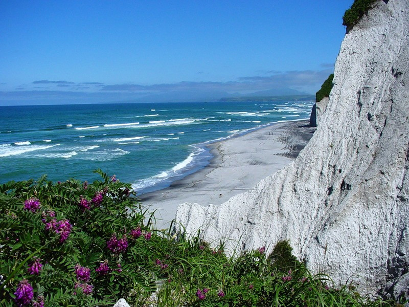
Sakhalin, Russia
Location
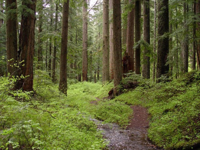
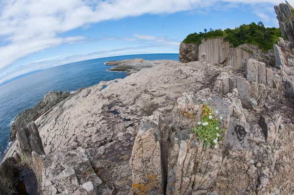
The city is located far from the shore (approx. 50 km from the Sakhalin’s West Coast on the Susuya river, in 25 km from Okhotsk Sea and 20 km from Aniva Bay washing the island from the South. Yuzhno-Sahalinsk is protected by the mountain group from the East side. There is a unique climate extrinsic to shore cities due to its location on the valley surrounded by mountains. It might be very hot in summer and extremely cold in winter. Yuzhno-Sakhalinsk is eligible to the Far North districts. City is located in quake-prone zone.
Climate
Climate is temperate, monsoonal
Area
City Square – 164.7 km2.
Square of the city district “Yuzhno-Sakhalinsk”, including Novo-Alexandrovsk, Lugovoye, Khomutovo, Kluchi, Sanatornoe, Sinegorsk, Novo-Derevenskoye, Novaya Drevnya, Bereznyaki, Starorusskoye, Dalnee, Yolochki, Listvenichnoye, Vestochka, - made up 898.2 km2.
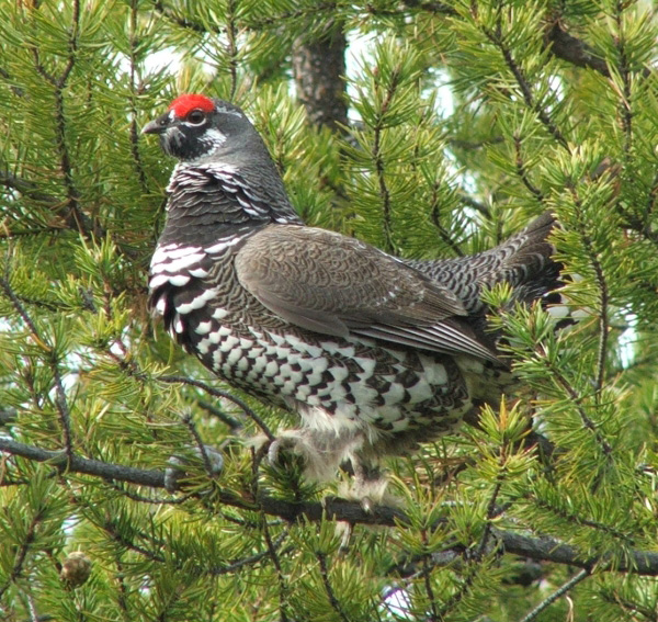
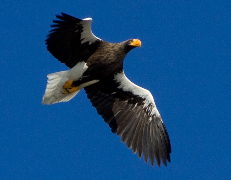
Natural History
Yuzhno-Sakhalinsk – is the Russian Far-Eastern city. Administrative center of the Sakhalin Region. It forms municipal district City district “Yuzhno-Sakhalinsk city”. The 6th biggest city in the Russian far-East. It was found by Russians in 1882 as Vladimirovka. From 1905 till 1945 with the name Toyohara was under the Japanese governance. It was renamed in Yuzhno-Sakhalinsk in 1946.
Population
190.2 thousand
Time difference
11 hours earlier than Greenwich Mean Time (GTM +11)
Currency
Ruble (RUB)
Airport
Airport is situated in 8 km. Apart from the city. Since 1990 – international airport with PASSENGERS TURNOVER – more than 800 thousand per year.
Contact information
YUZHNO-SAKHALINSK, KOMMUNISTICHESKIY PROSPEKT, 32
Elena Dmitrievna Nevenchina / E-mail. E.Nevenchina@admsakhalin.ru
URL
For more information, please visit http://www.admsakhalin.ru
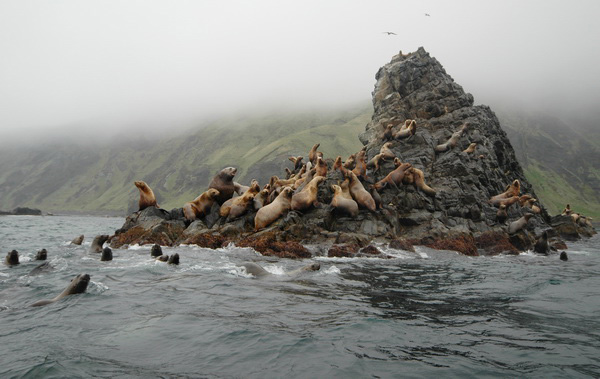
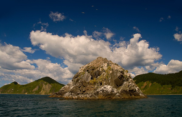
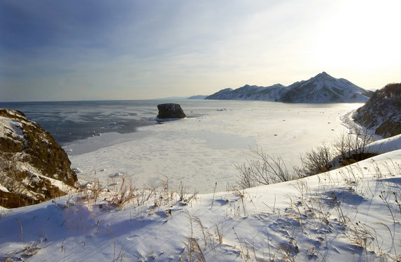
Images