We care deeply about
our environmental issues
会員案内
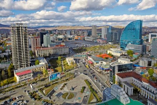
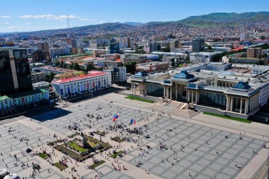
Ulaanbaatar, Mongolia
Location
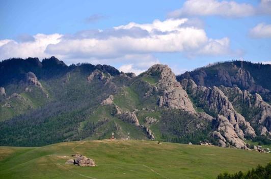
Ulaanbaatar is located in north central Mongolia, the municipality lies at an elevation of about 1,310 metres (4,300 ft) in a valley on the Tuul River.
Climate
Owing to its high elevation, its relatively high latitude, its location hundreds of kilometres from any coast, and the effects of the Siberian anticyclone, Ulaanbaatar is the coldest national capital in the world, with a monsoon-influenced, cold semi-arid climate that closely borders a subarctic climate and warm-summer humid continental.
The city features brief, warm summers and long, bitterly cold and dry winters. The coldest January temperatures, usually at the time just before sunrise, are between −36 and −40 °C (−32.8 and −40.0 °F) with no wind, due to temperature inversion.
Most of the annual precipitation of 267 millimetres (10.51 in) falls from June to September. The highest recorded precipitation in the city was 659 millimetres or 25.94 inches at the Khureltogoot Astronomical Observatory on Mount Bogd Khan Uul. Ulaanbaatar has an average annual temperature of −0.4 °C or 31.3 °F.
Area
4,704.4 km2
Natural Environment
Ulaanbaatar is located at about 1,350 metres (4,430 ft) above mean sea level, slightly east of the centre of Mongolia on the Tuul River, a subtributary of the Selenge, in a valley at the foot of the mountain Bogd Khan Uul. Bogd Khan Uul is a broad, heavily forested mountain rising 2,250 metres (7,380 ft) to the south of Ulaanbaatar. It forms the boundary between the steppe zone to the south and the forest-steppe zone to the north.
It is also one of the oldest reserves in the world, being protected by law since the 18th century. The forests of the mountains surrounding Ulaanbaatar are composed of evergreen pines, deciduous larches and birches while the riverine forest of the Tuul River is composed of broad-leaved, deciduous poplars, elms and willows. As a point of reference Ulaanbaatar lies on roughly the same latitude as Vienna, Munich and Orléans. It lies on roughly the same longitude as Chongqing, Hanoi and Jakarta.
Population
1,372,000(2013)
Time difference
8 hours earlier than Greenwich Mean Time (GTM+8)
Currency
The tögrög or tugrik(MNT)
Airport
Ulaanbaatar is served by the Chinggis Khaan International Airport (formerly Buyant Ukhaa Airport). It is 18 km (11 mi) southwest of the city
Contact information
Ulaanbaatar Environmental Department
Senior Projects Officer, Zolzaya Enkhtur / E-mail. zolzaya.e@environment.ub.gov.mn
URL
For more information, please visit http://www.ulaanbaatar.mn/
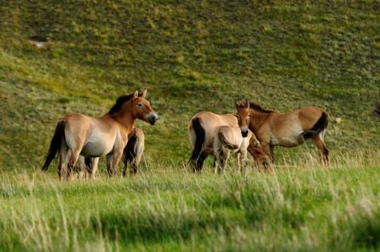
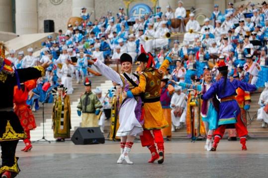
Images